The Cabot Head Research Station – Bruce Peninsula Bird Observatory
I just completed this year’s Birdathon as the Corvid 23 Team, and in support of the Bruce Peninsula Bird Observatory. To support the great work of BPBO, please sponsor my birdathon by going to this link. You deserve to know about BPBO’s main activity – migration monitoring at Cabot Head. That is the subject of this post. The next post will be about my week at the research station in mid May, and my two Birdathon efforts.
Getting to BPBO’s Cabot Head Research Station.
Last year I lost the sight in my right eye two days before I was planning to drive nine hours to the Cabot Head Research Station, where BPBO operates its migration monitoring station. I had to cancel the trip, though I still tried to continue with birding and work, though both were compromised for a while. Fortunately, after two laser treatments to repair small tears in the retina, my sight returned to 100% in about a month though another month of floaters often confused me as distant birds. The day I actually did birdathon last year was the day of the “Derecho” – a wall of wind and rain that stretched for hundreds of kilometres and which ripped through the Outaouais, during the afternoon of birdathon!
This year, no health issues interfered with the drive from Gatineau to Cabot Head on Sunday May 14, and my plans to spend the dream migration week in south central Ontario at one of my favourite spots on earth.
The Research Station is located in the Cabot Head Nature Reserve; an Ontario Parks protected area of the highest level, due to both the research station and the incredibly rich and rare ecosystems and plant communities. I must acknowledge that the Nature Reserve and the peninsula itself are the traditional and unceded lands of the Saugeen Ojibway Nation, which includes the Saugeen First Nation and the Chippewas of Nawash Unceded First Nation. We are aware of this and always grateful for their stewardship of these lands since time immemorial.
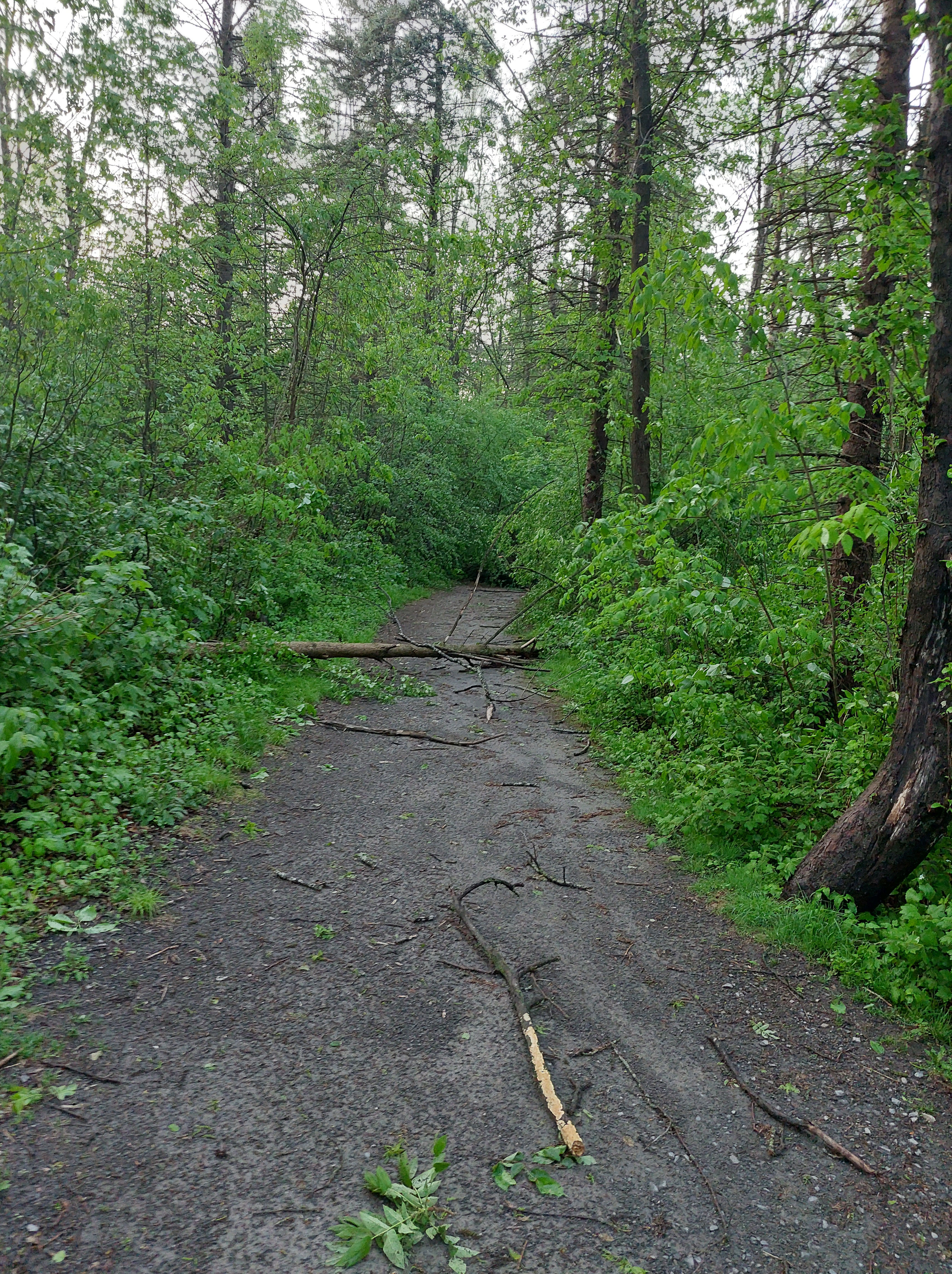
The last 10 kilometres of road between the small community of Dyers Bay and Cabot Head are not for the faint of heart. Parts of this road, historically maintained by the municipality, cross private lands, adding uncertainty to the question of responsibility for maintenance. Fortunately, BPBO staff and volunteers have access, for which we are grateful. Once past the combination-locked gate, the ‘road’ hugs the eroding rocky shoreline that separates the heavily wooded east-facing scree slope of the Niagara Escarpment on one side from Georgian Bay on the other. During daylight, the pot-holed narrow road is scary enough, but as I arrived at dusk, shadows exaggerated the drop off the side of the road, its narrowness, the potholes, and the size of the beach stones scattered on its surface. High water levels a few years back eroded the shore to the very edge of the narrow road in many places, literally leaving it hanging. One moment of distraction and the car could roll off the road into the icy waters of Georgian Bay.
The last two kilometres to the station follow a potholed lane, flooded in places, branching off the road that continues to the Cabot Head Lighthouse. The lane circles a body of water known as Wingfield Basin; the last 200 metres along a heavily wooded narrow peninsula with the research station near the tip. The peninsula itself represents an ancient beach ridge along the coast separating 80 kilometres of Georgian Bay to the north from the tiny Wingfield Basin, which is approximately 500 metres wide. Water circulates in and out of the basin to Georgian Bay through a 90-metre opening. Wingfield Basin is the only safe harbour along the north part of the Bruce Peninsula between Tobermory on Lake Huron and Lion’s Head on the Georgian Bay side of the peninsula. Some days in the summer, the basin fills up with sailboats, their crews anxiously waiting out storms. Across the basin from the research station, is the Cabot Head lighthouse. The Lighthouse was decommissioned in the 1988, replaced by an automated light but the restored original buildings remain, though closed to public over the past few years.
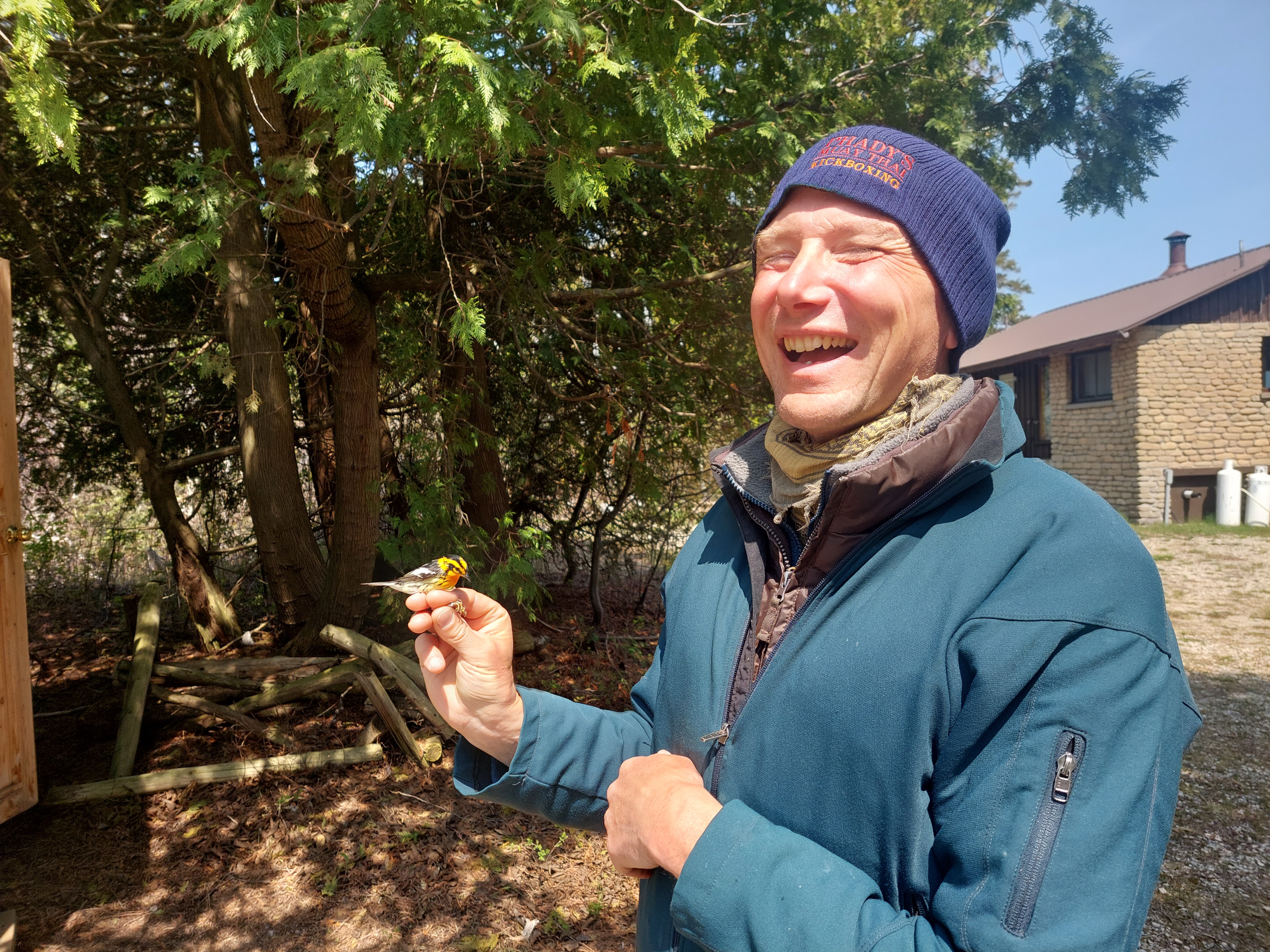
Monday morning I awoke at 5H15 to help Stephane open the mist nets. Stephane, who has a PhD in Ornithology, started working for BPBO as Station Scientist in 2003. Returning each spring and fall like many of the birds that pass through here, suits his lifestyle well. He is superb at this work, meticulous, reliable, and skilled with the birds and at one with the solitude of the remote station. He publishes the BPBO blog post every week during spring and fall migration. His style of writing is entertaining and his posts always make an enjoyable read. Those of us who support BPBO are delighted that he is still with BPBO, and still enjoying the work by all accounts, 20 years after joining us.
How we monitor birds
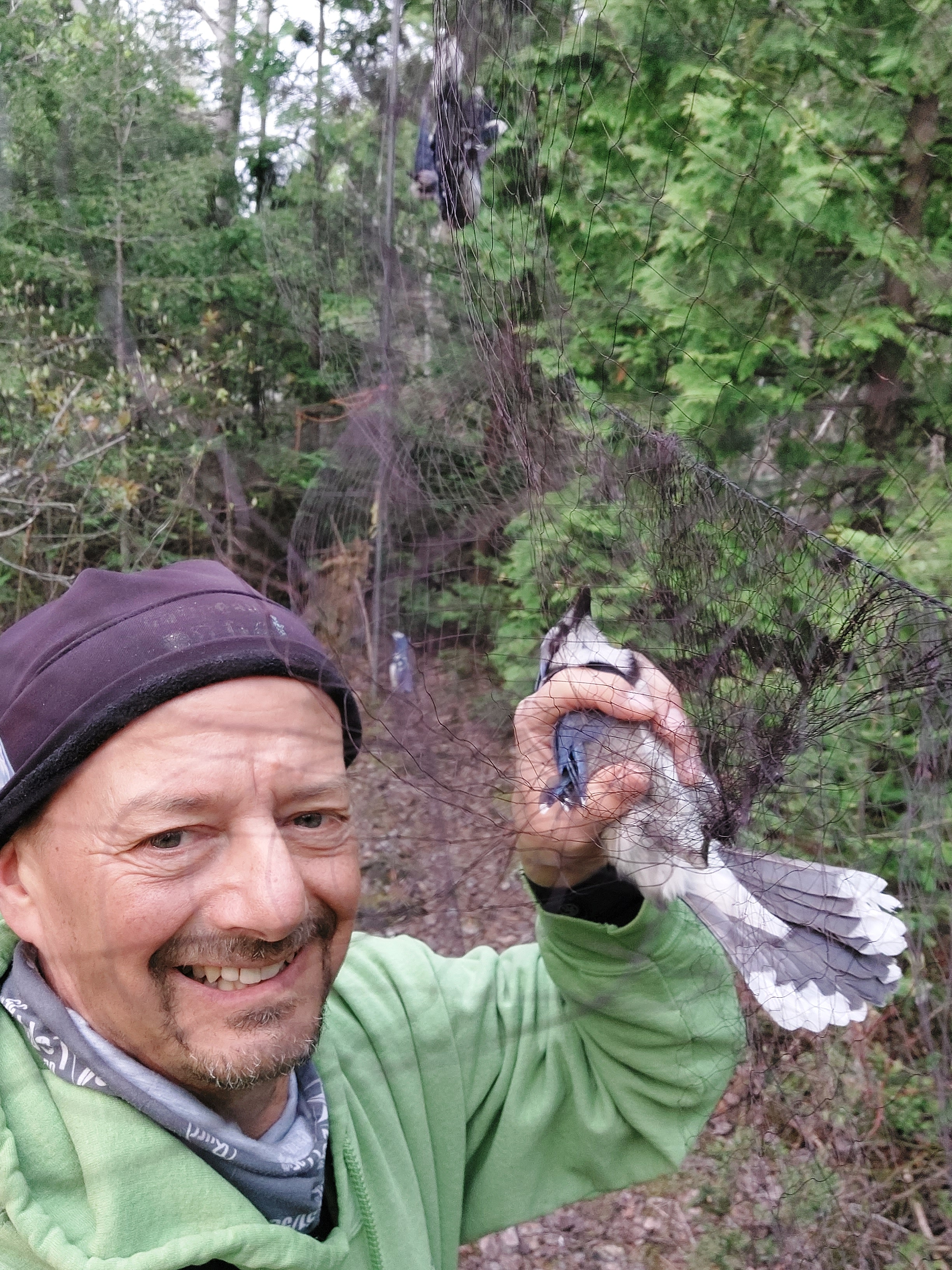
Stephane oversees the migration monitoring operation, the main activity of BPBO. Watch this excellent TVO short video to meet Stephane and learn how the station operations, particularly how the bird banding part works. We follow standard protocols each day in the spring, between April 15 to June 10, and in the fall, from August 15 to November 1, to track populations of birds that pass through the station’s area. Each day, we determine the number of individuals of each species of bird, by three different sampling methods. One is by catching and banding birds using a series of 15 mist nets distributed over about 150 metres of forest and forest openings to intercept birds flying below three to four metres. We open the mist nets, which are 2.5 m high and 12 m long, 30 minutes before sunrise, keeping them open for 6 hours. Inclement weather such as wind or rain results in not opening or closing nets to reduce risks to birds. We check nets every 30 minutes, during which time any birds are removed and transported to the banding lab where they are processed (identified to species and sex, banded, measured, weighed, and released). A second method used is the census. The census is a fixed route, walked by one person who has a very good knowledge of birds and the ability to identify most species by sight and sound. The route is almost one kilometre and takes exactly one hour. Census starts one hour after sunrise and is carried out everyday regardless of the weather. The final method is called “casual observations.” Volunteers and staff at the station always have their binoculars with them and their ears tuned to the birds so that observations are added during and between net checks. Weather conditions and the number of birds in the nets influence how much effort can go towards “casual observations.” At the end of the day, numbers from all three methods are recorded to estimate the number of birds of each species present or passing through the research station’s coverage area.
As I mentioned, I awoke at 5:15 on Monday morning after about six solid hours of sleep in my narrow sleeping bag on the bottom for one of the two bunk beds in the volunteer bedroom. It was still fairly dark, cold and windy outside, not what I would consider a morning that favours migration. Together with Stephane, we managed to open the nets in less than 20 minutes, giving me time to sip some coffee before the first net check. To be continued . . . .
